Data Catalog
The Data Catalog is a searchable STAC (SpatioTemporal Asset Catalog) browser listing every dataset hosted on the Cal-Adapt: Analytics Engine. It’s the best place to check what’s available before you start pulling data: models, scenarios, variables, and spatial and temporal resolution, along with metadata for each collection.
Use the Data Catalog to:
- Browse available datasets by variable, scenario, model, or downscaling method
- View metadata describing each collection’s spatial and temporal coverage
- Get direct links to the underlying Zarr and NetCDF stores referenced by Data Access Methods
Overview
The Cal-Adapt: Analytics Engine hosts a variety of climate data with varying levels of support from our analytical tools. Many of these datasets have been converted to cloud-optimized formats, and all are publically available in our AWS S3 bucket. Below is a non-exhaustive summary of our highlighted datasets, including their source, download link, catalog link, description, and where to learn more.
Climate Model Simulations
Downscaled climate projections produced for California’s Fifth Climate Change Assessment, fully integrated into the Analytics Engine’s Data Catalog and climakitae tooling. See the Climate Model Simulations page for full details on models, downscaling methods, and scenarios.
WRF
- Description
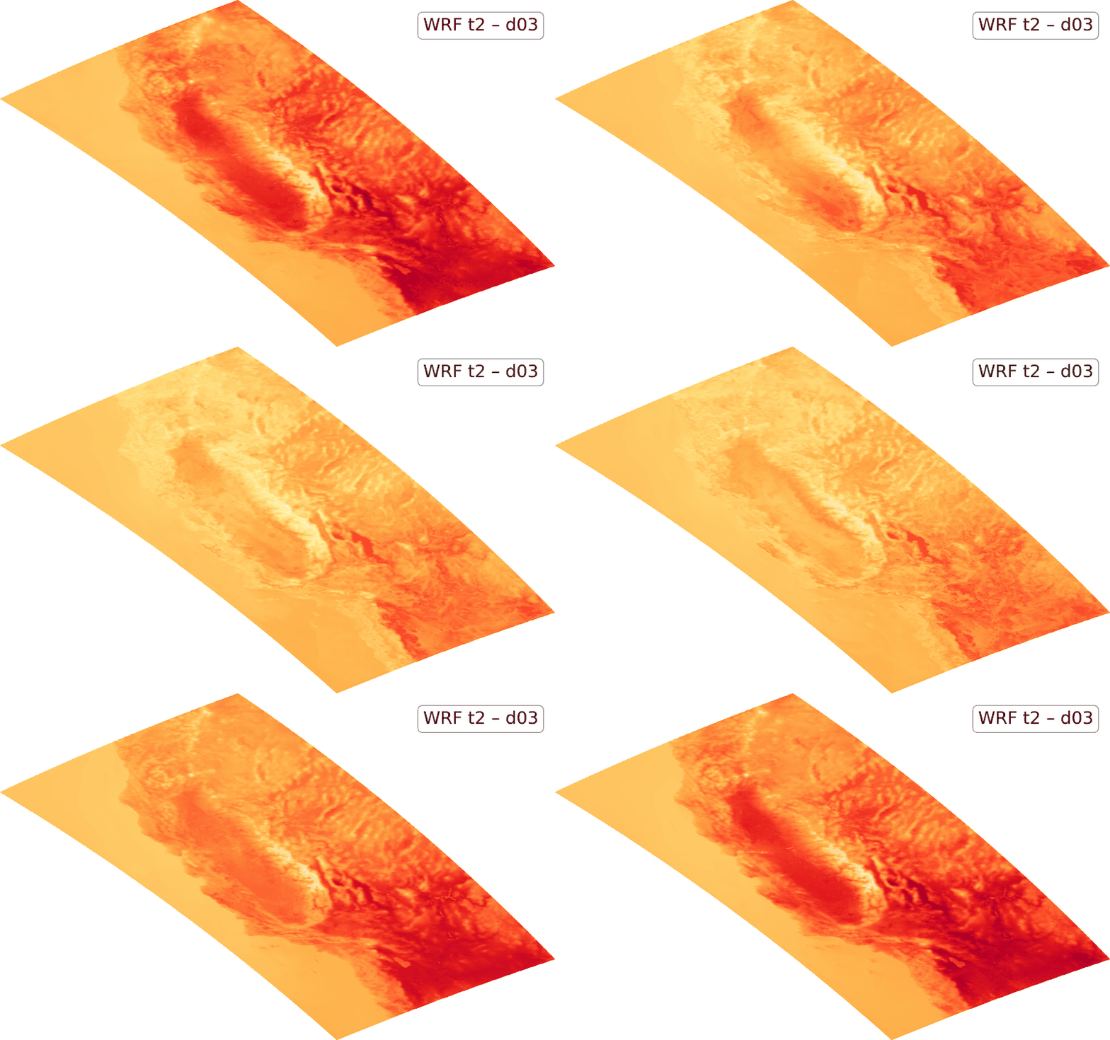
- 8 unique models downscaled at 45 km, 9 km (WECC region), and 3 km (California) resolution. Primarily SSP3-7.0, with limited SSP2-4.5/SSP5-8.5 runs. Native hourly resolution, plus a WRF-ERA5 historical reanalysis.
- Source
- UCLA
- Direct Download
- Amazon S3
- Catalog Link
- STAC Browser
- Learn More
- Climate Model Simulations
LOCA2
- Description
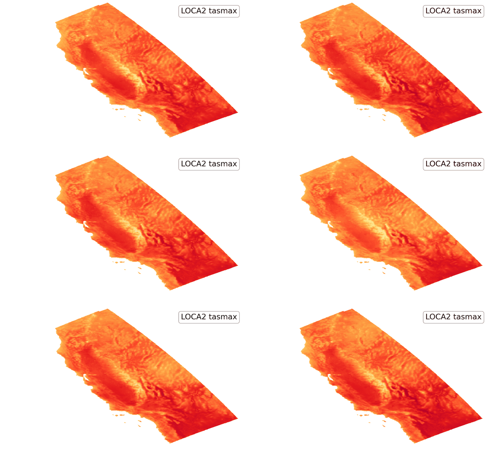
- 15 unique models downscaled at 3 km resolution over California. Available for SSP2-4.5, SSP3-7.0, and SSP5-8.5. Bias-corrected for all models, at native daily resolution.
- Source
- Scripps Institution of Oceanography
- Direct Download
- Amazon S3
- Catalog Link
- STAC Browser
- Learn More
- Climate Model Simulations
Climate Reanalysis Data
- Description
- ERA5 historical climate reanalysis dataset, dynamically downscaled at 45 km, 9 km (WECC region), and 3 km (California) resolution to match the WRF grid. Available at daily and hourly resolution. Provides an observationally-constrained historical reconstruction, useful for studying the historical record or specific meteorological events like heatwaves and droughts.
- Source
- UCLA (dynamically downscaled reanalysis)
- Access
- Amazon S3
- Catalog Link
- STAC Browser
-
Use the filtering option to select
source-id=era5 - Learn More
- Climate Model Simulations
Climate Profiles
- Description
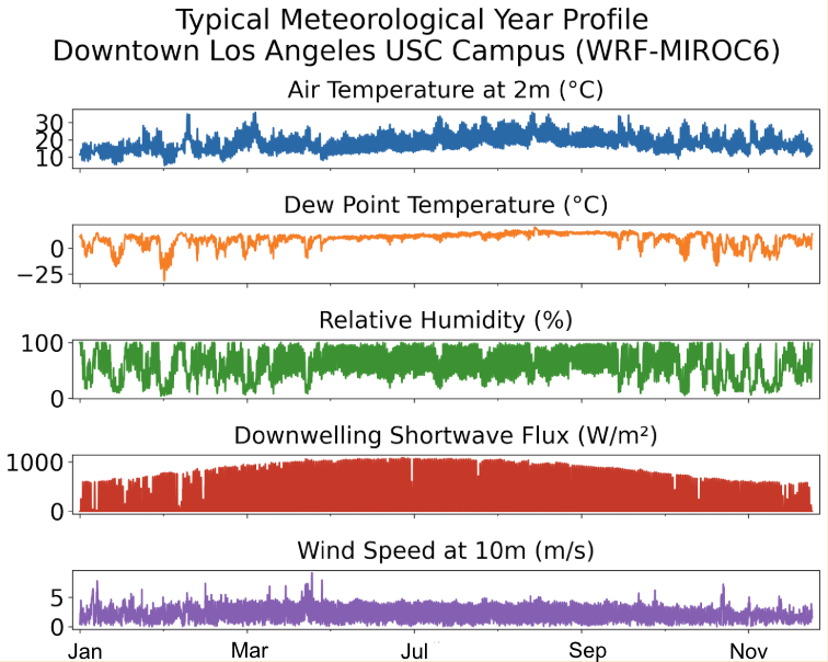
- Annualized hourly climate profiles at HadISD station locations, including Typical Meteorological Year, Standard Year, and Extreme Climate Profiles datasets.
- Source
- Cal Adapt
- Direct Download
- Amazon S3
- Catalog Link
-
- Typical Meteorological Year: STAC Browser
- Standard Year: STAC Browser
- Shock XMY: coming soon!
- Persistence XMY: coming soon!
- Learn More
- Climate Profiles
Historic Weather Station Data
- Description
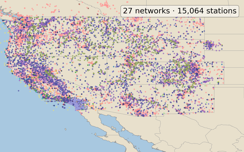
- Historical weather stations for the WECC region (approx. 15k stations), including the HadISD stations. Covers 1980 to 2022 and includes multiple variables.
- Source
- Eagle Rock Analytics
- Direct Download
- Amazon S3
- Catalog Link
- STAC Browser
- Learn More
- About Climate Projections
Sea Level Rise
- Description
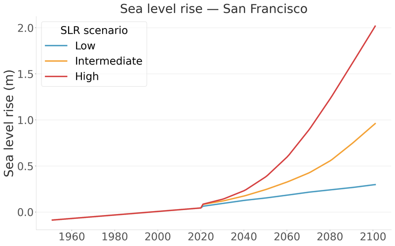
- Hourly sea level rise projections generated for 13 tidal stations along the California coast and San Francisco Bay, covering 1950–2100.
- Source
- Scripps Institution of Oceanography, U.C. San Diego
- Direct Download
- Amazon S3
- Catalog Link
- STAC Browser
- Learn More
- CEC Hourly Sea Level Projections Data Adoption Justification Memo
Hydrologic Data
- Description
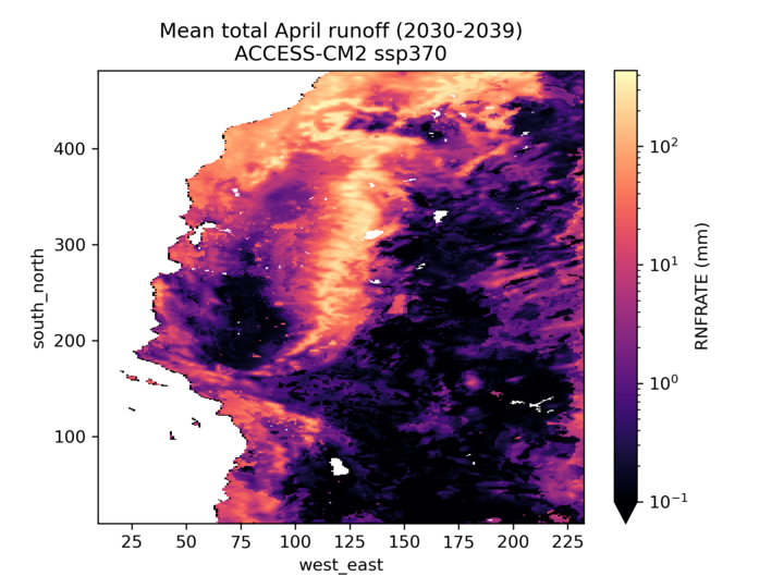
- UCLA-generated daily hydrology data from VIC and NOAH-MP, forced with a subset of LOCA2-Hybrid and four non-bias-corrected WRF dynamically downscaled datasets.
- Source
- NOAH-MP and VIC models
- Direct Download
- Catalog Link
- This dataset is not currently integrated into our catalog
- Learn More
- CEC Hydrology Projections Data Adoption Justification Memo
Renewable Energy Profiles
- Description
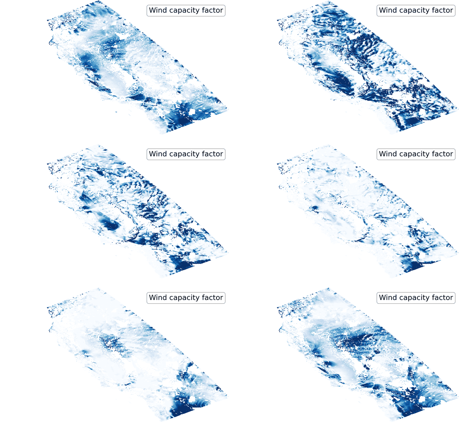
- Monthly counts of solar and wind resource drought days from CMIP6-driven WRF simulations, computed with NREL generation models under SSP3-7.0.
- Source
- Eagle Rock Analytics
- Direct Download
- Amazon S3
- Catalog Link
-
- Wind power generation profiles: STAC Browser
- Photovoltaic power generation profiles: STAC Browser